Aspiring Software Engineer. Spatial problem-solver. 4th year BS Information Systems student turning geographic data into real-world decisions.
I build systems that close the gap between business logic and working software.
I'm Mhel B. Bustamante, an aspiring Software Engineer and 4th Year BS Information Systems student majoring in Business Applications Development at West Visayas State University in Iloilo City.
My work sits at the intersection of geospatial analysis and software engineering — building GIS-powered platforms and spatial decision support systems with React, Node.js, Python, and tools like QGIS, PostGIS, and Leaflet.
I'm still learning, and I'm okay with that. Most of what I know came from building things, getting them wrong, and figuring out why. I try to carry each lesson into the next project: listen first, keep it simple, and build what actually helps.
Outside of code, I play chess, and it shapes how I work: think a few moves ahead, respect the small details, and learn from every game, especially the ones I lose. I also usually work out at the gym, which keeps me consistent and clear-headed.
Building the company's homepage and contributing to the development of their internal portal system.
● CurrentTaking on freelance full-stack projects — building and shipping web applications end-to-end for clients.
● CurrentMajor in Business Applications Development. Currently in 4th year, focusing on GIS and spatial systems, full-stack development, systems analysis, and database architecture. Completed a capstone thesis on a spatial decision support system for LGU social protection programs.
● Currently EnrolledPassed the DOST-SEI undergraduate scholarship qualifying examination — a nationally competitive, merit-based exam for science and technology-related degree programs.
✓ PassedCompleted Senior High School under the STEM strand, i have a capstone project this time, I built a role-based library management system entirely in Excel with macros.
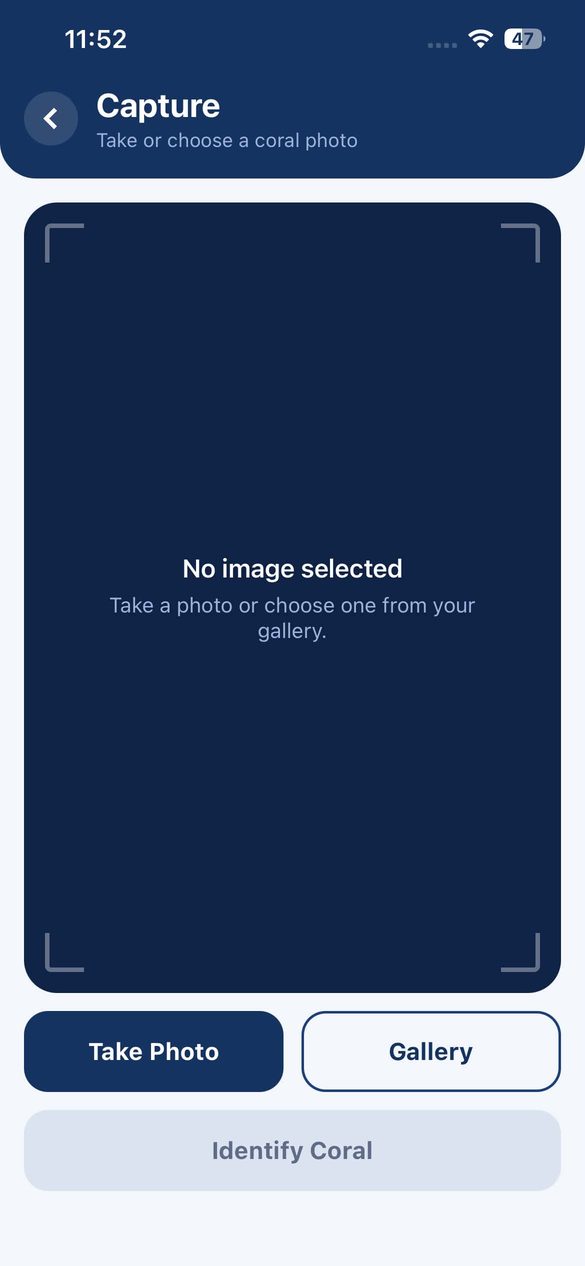
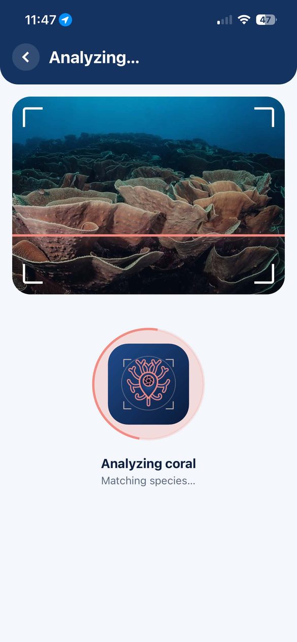
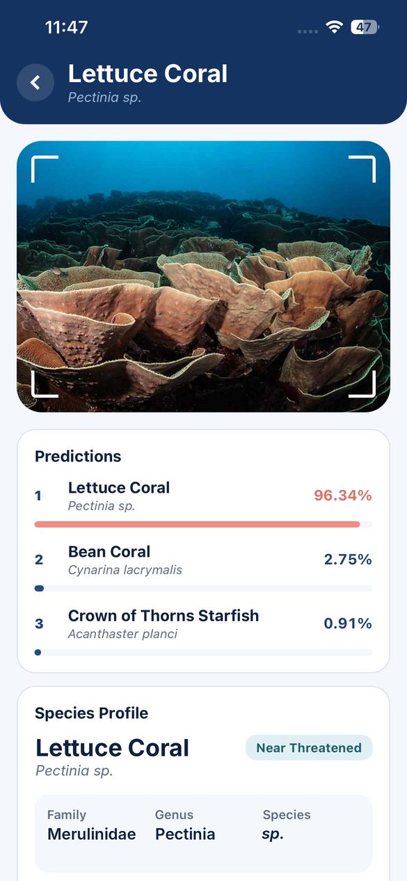
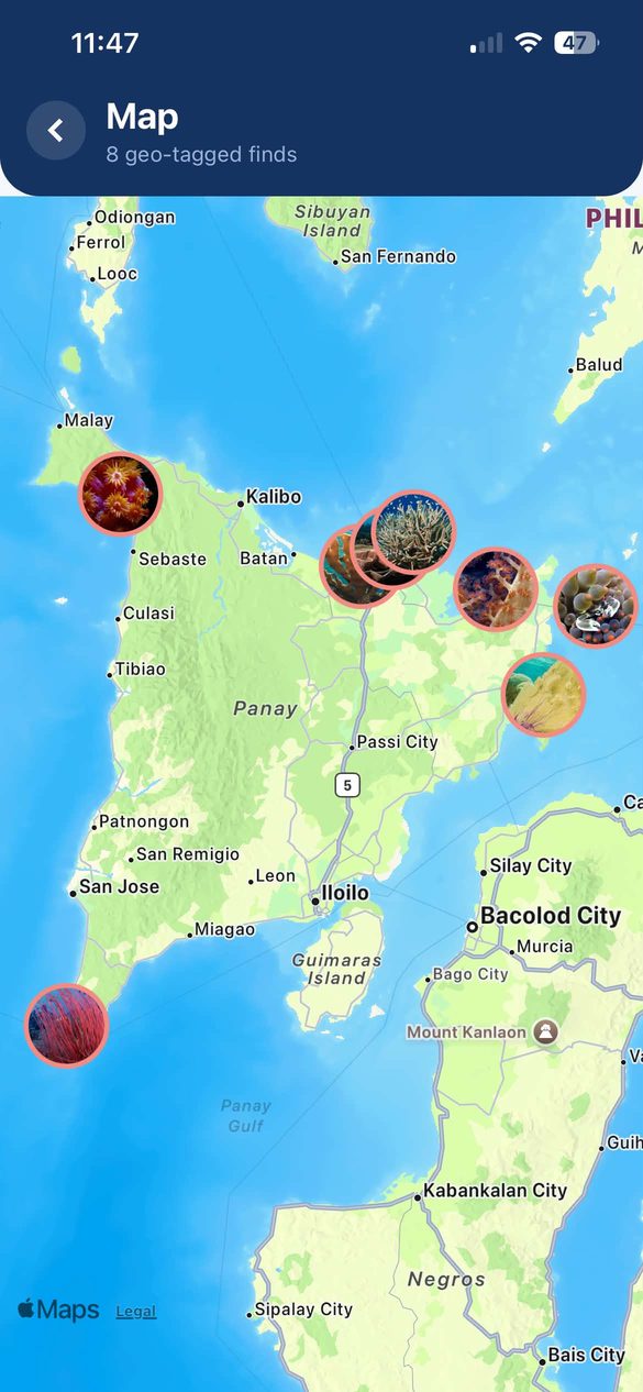
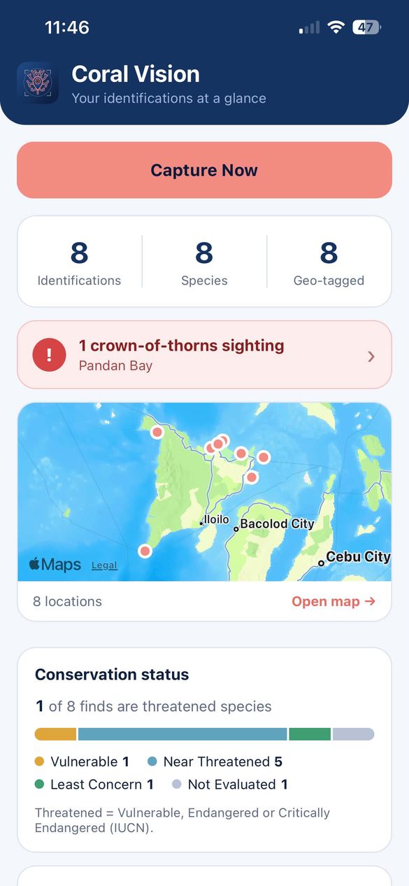
✓ CompletedA mobile app that identifies coral species from a single photo — fully on-device, no signal needed. Built for reef areas across Panay Island and beyond, starting from a species set confirmed with Capiz PENRO.
Every find returns the species' conservation profile — IUCN status, habitat and a QR reference — and is geo-tagged on a map, so reef monitoring builds up with each scan.
Next up: final evaluation and the public release of the app.
I bring both technical execution and business thinking to the table.